
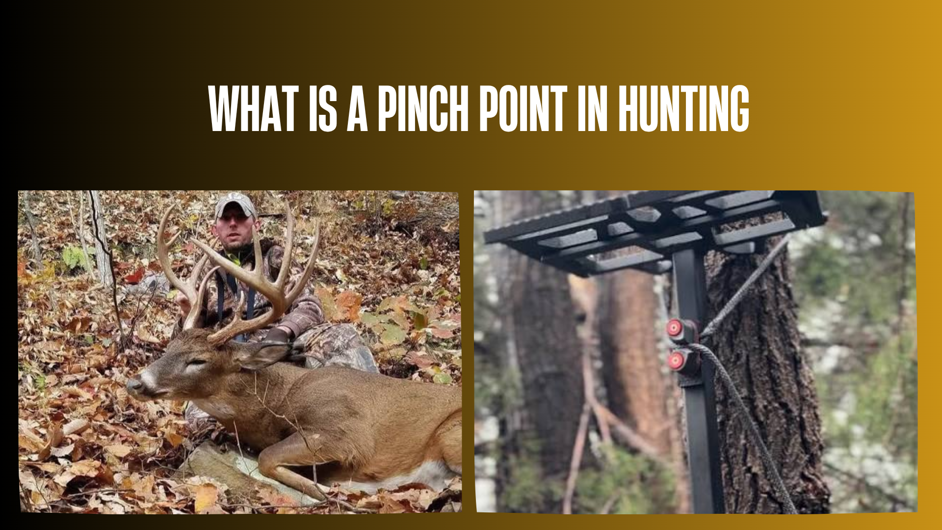

A pinch point in hunting is a narrow area where terrain or habitat concentrates animal travel. Hunters commonly use the term when discussing deer routes through strips of timber, gaps between obstacles, and other places where several possible paths narrow into fewer practical options.
Recognizing one helps you decide where to scout. The next step is determining whether animals actually use it—and whether you can hunt there safely and legally.
Quick Answer
A pinch point is a landscape bottleneck that channels wildlife movement through a relatively confined area. For example, a narrow wooded connection between larger patches of forest may concentrate deer travel. Hunters sometimes use “pinch point” and “funnel” interchangeably, although pinch point often describes the narrower portion of a funnel. It identifies a potentially useful travel location, not a guaranteed animal encounter.
How a Pinch Point Works
Animals moving across a landscape encounter differences in cover, footing, slope, and exposure. Where those differences reduce convenient travel options, movement may become concentrated. MeatEater’s hunting glossary describes the term in relation to terrain or habitat narrowing deer movement.
The surrounding features do not have to be impassable. An open field may offer less concealment than adjacent brush, while a steep bank may make one crossing more convenient than another. Deer can still choose alternatives.
A Simple Example
Imagine two large wooded areas connected by a thin band of trees, with agricultural fields on either side. That wooded connection is a candidate pinch point. Before choosing it as a hunting location, ask:
- Does the connection lead between places deer currently use?
- Are there tracks or observations confirming travel through it?
- Are nearby routes equally convenient?
- Can you approach without disturbing the area?
- Does the location provide safe visibility and lawful access?
This separates an appealing map feature from a location worth hunting.
Pinch Point vs. Funnel vs. Travel Corridor
These are practical hunting terms rather than rigid scientific categories. A useful distinction is that a funnel channels movement, while a pinch point describes a particularly restricted section. Cervicide’s explanation of funnels and pinch points makes a similar distinction.
| Term | Meaning | What it tells you |
|---|---|---|
| Travel corridor | A route or band of habitat connecting areas animals use. | Where movement may occur across the landscape. |
| Funnel | A feature that channels travel toward a smaller area. | Where routes may begin to converge. |
| Pinch point | A confined section of a potential travel route. | Where movement may be most concentrated. |
| Game trail | A visible path created by repeated animal passage. | Evidence of travel, without necessarily identifying its timing or users. |
| Saddle | A low section of a ridge between higher points. | A terrain feature that may channel travel, depending on its surroundings. |
A trail intersection is not automatically a pinch point. Several trails can cross in open woods without any feature restricting travel.
Common Places to Look for Pinch Points
Start with features that narrow cover or concentrate practical crossings. Hunting examples discussed by Game & Fish include timber connections, wetland passages, rocky obstacles, and creek crossings.
| Candidate feature | Why it may concentrate travel | What to verify |
|---|---|---|
| Narrow timber strip | Connects larger areas of cover across a more exposed landscape. | Current use and alternative wooded routes. |
| Dry passage through wetlands | Provides a relatively firm connection between higher ground. | Water levels, footing, and whether the route remains usable. |
| Restricted creek crossing | Bank shape or shallow water may favor a particular crossing. | Tracks on both approaches and safe access. |
| Gap beside a rock outcrop | Channels some movement around difficult terrain. | Whether animals travel above, below, or around the opposite side. |
| Ridge saddle | May offer a convenient route across a ridge. | Connecting trails and the width of the usable crossing. |
| Existing fence opening | May provide a convenient passage. | Actual use, ownership, and safe distance from livestock. |
An inside field corner can also concentrate travel where animals follow cover around an opening. However, a corner alone does not prove a bottleneck exists. Look for a meaningful restriction and evidence of use.
How to Find and Verify a Pinch Point
1. Study the Landscape Before Zooming In
Use an aerial image to identify connected habitat, openings, waterways, and potential barriers. Consider what lies at both ends of a narrow passage. A connection between useful areas deserves more attention than an isolated strip with no evident destination.
Check the image date. Logging, crop harvest, flooding, and development can make an older image misleading.
2. Compare Aerial Images With a Topographic Map
Aerial imagery shows vegetation patterns; topographic maps show elevation and slope. Together, they can help you distinguish a narrow wooded connection from a steep drainage or identify a saddle hidden beneath continuous forest cover.
Map interpretation produces candidates. It does not establish that a deer route exists. The map-to-field verification approach is also emphasized in Cervicide’s scouting guidance.
3. Check Access Before Walking In
Identify the landowner or managing agency and confirm your permission to enter. A mapping app’s property overlay is a planning aid, not permission or a definitive boundary determination.
Plan an approach and return route that avoid unsafe crossings. A promising location loses its value if reaching it requires trespassing or hazardous travel.
4. Look for Several Kinds of Evidence
Record tracks, trails, droppings, rubs, and observations without treating any single clue as conclusive. A worn path shows repeated passage, but it may have developed over a long period or be used by several species.
Soft mud records tracks more readily than dry leaves or rocky ground. Consequently, more visible tracks do not necessarily mean more animals. Likewise, track appearance alone rarely establishes an exact time of passage.
5. Separate Route Use From Useful Timing
A location can receive animal traffic while providing few encounters during legal hunting hours. Direct observation or a legally permitted trail camera can help document timing.
Check camera date and time settings before relying on timestamps. Treat photographs as records of particular visits, not proof that the same schedule will continue.
What Makes a Pinch Point Worth Hunting?
Use the following questions to evaluate a candidate. These are practical screening criteria, not a formula for predicting success.
- Connection: Does the route link habitat animals currently use?
- Evidence: Have you confirmed recent activity rather than relying entirely on the map?
- Alternatives: Are there other routes that weaken the apparent bottleneck?
- Access: Can you enter and leave without crossing the main travel route unnecessarily?
- Wind: Can you choose a position appropriate for actual conditions?
- Visibility: Can you identify the animal and assess the entire shot path?
- Recovery: Have you considered terrain, boundaries, and lawful recovery access?
Where Should You Position Yourself?
There is no universal distance from a pinch point that works for every hunter. Select a position based on visibility, wind, safe shooting directions, equipment, and your demonstrated accuracy.
The narrowest location may have poor sightlines or an unsafe background. A nearby position with a clear view can be more suitable. Decide your safe shooting limits before an animal appears, and pass any opportunity that falls outside them.
Why Wind and Entry Routes Matter
Assess wind where you will actually hunt rather than relying solely on a forecast. If conditions carry your scent into the area you expect animals to use, reconsider the position or timing. No scent-control product guarantees that deer will fail to detect you.
Plan the exit as carefully as the approach. Repeatedly walking through the same narrow passage adds disturbance and makes subsequent observations harder to interpret.
Do Pinch Points Work Throughout the Season?
They can remain relevant beyond the rut, but their usefulness is conditional. The physical feature may remain unchanged while food availability, vegetation, water levels, breeding activity, weather, hunting pressure, or individual animal behavior changes its use.
Game & Fish’s discussion of funnel locations includes examples used outside the rut. That supports considering these features throughout a season, not assuming consistent traffic at every location.
Recheck your evidence after substantial habitat or seasonal changes. Last year’s productive route is a starting point for scouting, not a promise.
Common Mistakes and What to Do Instead
- Choosing a spot from its shape alone: Confirm use on the ground before committing hunting time.
- Assuming water or fences completely block deer: Look for crossings and alternative routes.
- Equating many tracks with many deer: Repeated trips by a few animals can create considerable sign.
- Ignoring timing: Separate evidence of passage from evidence of activity during legal hours.
- Visiting too frequently: Make scouting trips purposeful and minimize unnecessary disturbance.
- Prioritizing proximity over visibility: Choose a position that allows positive identification and a safe shot path.
- Altering habitat without authorization: Do not cut vegetation, modify fences, or block trails without permission and confirmation that the work is lawful.
Safety, Permission, and Local Rules
A concentrated travel route may also attract other hunters. Know the location of roads, trails, buildings, livestock, and nearby hunting positions. Never fire at unidentified movement, through screening vegetation, or toward an unsafe background.
The New York DEC hunter education program reinforces four essential firearm safety principles:
- Treat every firearm as loaded.
- Keep the muzzle pointed in a safe direction.
- Keep your finger outside the trigger guard until ready to shoot.
- Identify the target and know what is in front of and beyond it.
If using an elevated stand, follow its manufacturer’s instructions. Wear an appropriate full-body fall-arrest harness and remain connected while climbing, hunting, and descending. Maintain three points of contact when climbing and use a haul line for unloaded equipment. Review the Wisconsin DNR tree stand safety guidance before using a stand.
Before hunting, consult your state or provincial wildlife agency and the specific property’s land manager. Verify seasons, licenses, tags, legal methods, shooting hours, visibility-clothing requirements, and any camera or stand restrictions. Obtain required landowner permission and understand recovery-access rules. Official regulations override general online guidance.
FAQs
1. How narrow does a pinch point have to be?
There is no standard width. The relevant question is whether it meaningfully concentrates travel compared with the surrounding landscape.
2. Is every narrow strip of woods a pinch point?
No. A strip may look suitable without connecting places animals use. Field evidence determines whether it functions as a travel bottleneck.
3. Are pinch points only useful for deer hunting?
No. The concept can apply to other game animals, but route preferences and responses to terrain differ by species. Verify the species using the feature.
4. Do only bucks use pinch points?
No. A travel bottleneck can be used by different deer and other wildlife. Its shape does not identify the sex or age of its users.
5. Is a pinch point the same as a bedding area?
No. A pinch point describes restricted movement. A bedding area is a place animals rest, although a travel route may connect to one.
6. Can pinch points exist in flat country?
Yes. Vegetation, wetlands, and land-use boundaries can narrow travel without substantial elevation changes.
7. Is every saddle a pinch point?
No. A broad saddle with many usable approaches may not concentrate travel closely. Inspect its surrounding terrain and actual trails.
8. Can a creek crossing be a pinch point?
Yes, where crossing conditions concentrate passage. A creek with many equally usable crossings may provide little restriction.
9. Can deer bypass a pinch point?
Yes. They may cross openings, use water, negotiate steeper terrain, or take another route. A likely path is not an obligatory path.
10. Can I find pinch points without a paid mapping app?
Yes. Available aerial imagery, topographic maps, and legal field scouting can be sufficient. Paid features are optional conveniences.
11. Do I need a trail camera?
No. Observations and field sign can establish route use. A camera can add timing information where its placement and use are permitted.
12. Do rubs prove a buck will return?
No. A rub records past activity. It does not establish the animal’s current location or future schedule.
13. What if a promising location has no tracks?
Consider whether the surface preserves tracks. Combine several observations before deciding the route is unused.
14. Why might a pinch point produce only nighttime photographs?
Possible explanations include travel timing, disturbance, or its position relative to areas animals use. Check timestamps and avoid assuming a single cause.
15. Is morning or evening better?
Neither is universally better. Use local observations, legal hours, wind, and access conditions to evaluate the location.
16. Can I hunt one from the ground?
Yes, if permitted and safe. A tree stand is not required, and ground positions still need suitable visibility and safe shooting directions.
17. Are pinch points suitable for bowhunters?
They can be, but close travel does not guarantee a clear, ethical shot. Vegetation, angle, and your practiced accuracy remain limiting factors.
18. Does a rifle make a distant pinch point huntable?
Not automatically. Visibility, target identification, background, legal restrictions, and demonstrated accuracy determine whether a shot is appropriate.
19. Can I create a pinch point on public land?
Do not assume habitat alteration is allowed. Ask the managing agency before cutting, moving materials, modifying fences, or changing trails.
20. What if wounded game crosses onto neighboring land?
Follow local recovery laws and obtain any required permission. Contact the landowner or wildlife authority when access is uncertain; do not assume a right to enter.
Final Answer
A pinch point in hunting is a confined landscape feature that can concentrate animal travel. Find candidates on maps, verify their use outdoors, and evaluate access, wind, visibility, and recovery before selecting a hunting position. Complete hunter education, practice with your equipment, check current local rules, and keep expectations realistic: even a well-used route does not guarantee a safe or legal harvest opportunity.
Read more: